Professional Observation
Basic Information
Observation Details
Observation Date:
January 10, 2022 - January 11, 2022Submitted:
January 11, 2022Observer:
WAC - Caleb MerrillZone or Region:
ElkhornsLocation:
Anthony Lakes, Angell BasinSigns of Unstable Snow
Recent Avalanches?
None ObservedCracking?
None ExperiencedCollapsing?
None ExperiencedSnow Stability
Stability Rating:
GoodConfidence in Rating:
ModerateStability Trend:
SteadyBottom Line
Lingering stubborn windslabs do still exist in leeward terrain (mostly North and East aspects) near and above treeline around Anthony Lakes. The 1/6 Rain Crust is of various thickness and can be found on the surface, or below 3-5" of mostly consolidated wind blown snow.
Media


Advanced Information
Weather Summary
Cloud Cover:
Mostly CloudyTemperature:
29Wind:
Light , SWThe last two days were partly to mostly cloudy with light to moderate SW winds. A stronger wind event out of the South occurred Sunday afternoon into evening. There was still a bit of snow to blow around on Sunday night, but by mid day Monday through Tuesday there wasn't much snow left to be transported and the wind turned to needles and other natural debris. An isolated snow shower passed through the area around 11 am on Tuesday, but brought no accumulation.
Avalanche Observations
None observed.
Snowpack Observations
A mostly right side up snowpack was observed in a snowpit at lower elevations (7300') see photo below. Repeatable Resistant Planar Compression Test results were noted below the 1/6 rain crust in this pit at a depth of 17-20cm. No propagation was noted in an Extended Column Test. As we moved up in elevation in Angell Basin, we continued to get Easy and Very Easy hand shears on the layers just below the rain crust.
Although weak faceted snow will likely form around this crust, we did not see any at this time. This rain crust is going to be a player in the snowpack moving forward when we eventually see a load test its strength. We noted the 1/6 rain crust to be of various thickness from just under a 1/4" thick to almost 1/2" thick at lower elevations. In some places it was more of two layers with a very thin layer of snow in between- like a cracker sandwich. Interestingly, in steep terrain near trees and rocks, time and gravity have pulled the rain crust down and created cracks in the rain crust and snow that sits atop it. From afar, these cracks look like small avalanche crowns....see photos below. The HS (height of snow) ranged from 140cm (4.5 feet) to 215 cm (7 feet) in upper elevation terrain that has seen some wind loading.
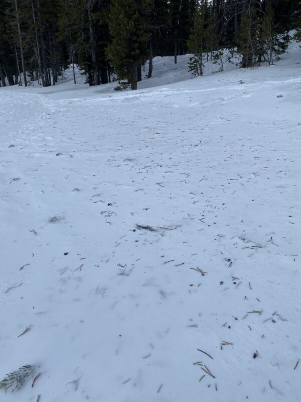
On Sunday, up to 2.5 mm Surface Hoar was noted in the area, but it was all but destroyed by the wind and warmer temperatures by Tuesday afternoon. The snow surface is dirty with plenty of tree debris. Leeward terrain was wind loaded, with stiff but stubborn windslabs. They did not seem sensitive on Tuesday. Riding conditions were variable- but with the right attitude, you can still have fun.


Avalanche Problems
| Problem | Location | Distribution | Sensitivity | Size | Comments |
|---|---|---|---|---|---|
 Wind Slab
|
|
Layer Depth/Date: up to 40 cm Near/Above Treeline NW-N-E aspects |
Terrain Use
We chose to stay off of wind loaded terrain steeper than 35 degrees.
Close